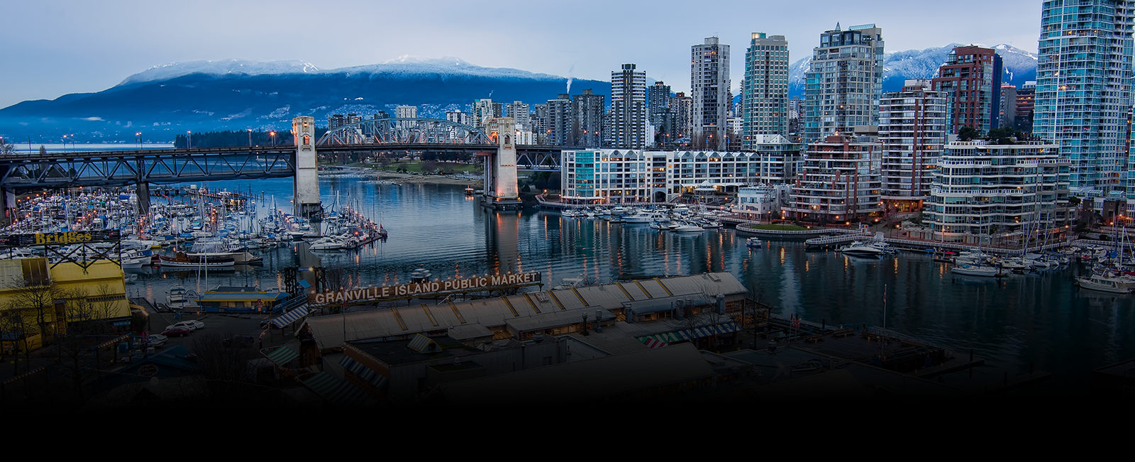

Aerial and Drone Photography Services in Granville for Real Estate and Construction
In the vibrant city of Granville, Ohio, ARO Aerial Inc. offers top-notch Real Estate Aerial & Drone Photography, bringing a new perspective to the world of real estate marketing and construction site analysis. With our cutting-edge technology and skilled professionals, our aerial/drone photographer in Granville specializes in capturing stunning aerial imagery and providing valuable insights through drone photography.
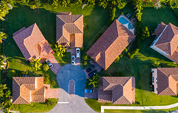
Real Estate Aerial & Drone Photography Granville: Elevating Property Marketing to New Heights
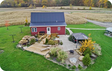
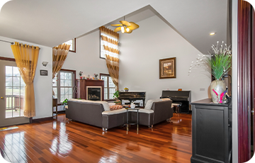
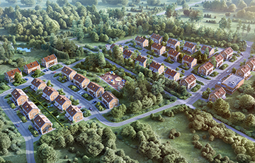
When it comes to showcasing real estate properties, traditional photography can only go so far. That's where our Real Estate Aerial & Drone Photography services come in. By utilizing drones, we can capture breathtaking aerial shots that highlight the unique features and surroundings of each property.
Our aerial photography for real estate creates impactful visuals that give potential buyers a comprehensive view of the property and its neighborhood. From sweeping landscape shots to detailed exterior views, our real estate drone photography enhances property marketing by providing a fresh and captivating perspective.
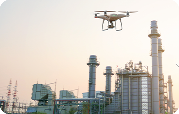
Construction Site Aerial & Drone Photography in Granville: Capturing Progress from Above
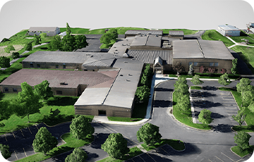
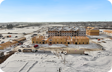
In the realm of construction, monitoring and documenting progress is essential. ARO Aerial Inc. specializes in Construction Site Aerial & Drone Photography in Granville, offering an efficient and cost-effective solution for capturing construction updates and conducting site inspections.
By leveraging drone technology, we can provide high-resolution aerial images and drone footage that offer an overview of the entire construction site. Our drone & aerial photography for construction enables project managers, architects, and stakeholders to monitor progress, assess site conditions, and identify potential issues quickly and accurately.
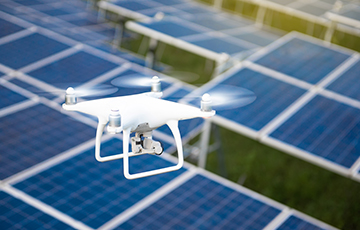
Aerial & Drone Photographer: Unleashing the Power of Aerial Imagery
As an experienced Aerial & Drone Photographer in Granville, Ohio, ARO Aerial inc. brings a wealth of knowledge and expertise to every project. Our skilled photographers combine their passion for aerial photography with state-of-the-art equipment, ensuring exceptional results that meet and exceed our client's expectations.
Whether it's capturing stunning images for real estate listings or providing detailed visual documentation for construction projects, our aerial and drone photographers have the skills and creativity to deliver outstanding imagery that tells a compelling story.
Choose ARO Aerial Inc. for Your Aerial and Drone Photography Needs in Granville, Ohio
When it comes to real estate marketing and construction site analysis in Granville, Ohio, ARO Aerial Inc. is the trusted name to rely on. With our Real Estate Aerial & Drone Photography and Construction Site Aerial & Drone Photography services, we provide a unique and valuable perspective that sets your projects apart.
Navigate the Landscape: Uncover Terrain Insights with Aerial Survey & Drone Mapping Services in Granville
-
Orthomosaics
Aerial Survey & Drone Mapping Services in Granville, Ohio involves capturing multiple high-resolution images of an area and stitching them together to create a seamless, georeferenced aerial map. This detailed ortho mosaic map provides valuable information for urban planning, land management, environmental monitoring, and more.
-
NDVI Plant Health
Our drone mapping & aerial surveying services in Granville can capture multispectral imagery, enabling the generation of NDVI maps. These maps allow farmers and land managers to assess plant health, identify areas of stress or disease, optimize irrigation and fertilizer usage, and make informed decisions for crop management.
-
Elevation maps
Our drone mapping & aerial surveying services can create high-resolution elevation models. These maps showcase variations in terrain elevation, slopes, and contours, enabling professionals in construction, infrastructure planning, and land development to make accurate assessments and design decisions.